


Lerma-Chapala Basin /Who Will Save Lake Chapala
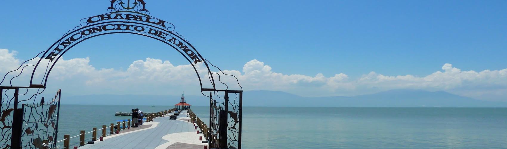
Situated in the lerma-Chapala basin, Lake Chapala is Mexico’s largest freshwater lake, with a maximum capacity of approximately 8,000 million cubic meters. The water level varies during the year due to seasonal rainfall, and also over the long term due to periodic droughts, heavier rainfall and the amount of water released from dams. In 2009 the lake’s area is 114,659 hectares with an average depth of 8 m, corresponding to a volume of about 5,500 million cubic meters, or about 68 % of capacity. The Jalisco state water commission maintains up to date information on the lake’s water level, published on the commission’s website: http://www.ceajalisco.gob.mx/chapala.html.
This Lerma-Chapala basin is one of the youngest geological areas of the American continent; it was formed in the late Pleistocene era approximately 38,000 years ago. For more information about the geological history of Lake Chapala, see http://www.mexconnect.com/articles/2591-the-geology-and-geography-of-lake-chapala-and-western-mexico.
Lerma-Chapala basin is very important for migratory birds from North America, which migrate from central Canada and live on the lake from November until March. There is also a large and diverse population of native birds around the lake; for more information about them and local bird watching, see: http://www.avesajijic.com/ .
More than ten million people live in the catchment area (about 10 % of the total population of México), and the potential for conflict over regional water resources is high due to their overexploitation and contamination. About 81 % of the lake’s catchment area is agricultural, and the area irrigated has quintupled over the last 50 years.
The Lerma River is main source for the basin, which originates near Toluca in Mexico State and flows through the states of Michoacán and Guanajuato before entering Jalisco. The water entering Lake Chapala from the Lerma River is highly polluted with heavy metals and other toxic substances as a result of insufficient wastewater treatment by the many industries operating near the Lerma River. Additionally, many of the towns around the lake release their sewage and wastewater into the lake without treatment. The “Federal Zone” around the lake, where construction is prohibited, continues to suffer from new developments.
Eleven major dams upstream of the Lerma River were constructed in order to divert water for industry, drinking water and irrigation. Approx.25 % of the drinking water goes to Mexico City and more than 60 % to Guadalajara. In the 1970s Lake Chapala had a volume of 8.1 billion cubic meters [m³], 3.3 billion m³ is considered to be critical. The volume in summer 2003 was 1.2 billion m³ but due to heavy rainfall, it increased to approx. 4 billion m³ at the end of the year 2003. In November 2009, the water level amounted to 5.5 billion m³.
The Chapala-Ajijic area is becoming popular north of the border, although most inhabitants seem to have no specific knowledge about the importance and environmental situation of the lake. The wetlands of the River Lerma Delta are of great value and should be protected under national law. In February 2009, Lake Chapala was declared as RAMSAR site.
The Living Lakes partner organizations are the Fundación Cuenca Lerma Lago Chapala and Sociedad Amigos del Lago de Chapala.
Sociedad Amigos del Lago de Chapala, A. C.
Antonio Flores (President), Azucena Bateman Campos
E-mail: info@amigosdelago.org; antonioajijic@hotmail.com
Fundación de la Cuenca Lerma Lago Chapala-Santiago, A.C.
Manuel Villagomez Rodriguez
E-mail: lily_sg@hotmail.com