


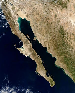
Sea of Cortez / Gulf of California
The Gulf of California is 1,126 km (700 mi) long and 48–241 km (30–150 mi) wide, with an area of 177,000 km2 (68,000 sq mi), a mean depth of 818.08 m (2,684.0 ft), and a volume of 145,000 km3 (35,000 cu mi).
The Gulf of California includes three faunal regions:
1. the Northern Gulf of California
2. the Central Gulf of California
3. the Southern Gulf of California
One recognized transition zone is termed the Southwestern Baja California Peninsula. Transition zones exist between faunal regions, and they usually vary for each individual species. (Faunal regions are distinguishable based on the specific types of animals found there.)
Geology;
Geologic evidence is widely interpreted by geologists as indicating the Gulf of California came into being around 5.3 million years ago as tectonic forces rifted the Baja California Peninsula off the North American Plate.[6] As part of this process, the East Pacific Rise propagated up the middle of the Gulf along the seabed. This extension of the East Pacific Rise is often referred to as the Gulf of California Rift Zone. The Gulf would extend as far as Indio, California, except for the tremendous delta created by the Colorado River. This delta blocks the sea from flooding the Mexicali and Imperial Valleys. Volcanism dominates the East Pacific Rise. The island of Isla Tortuga is one example of this ongoing volcanic activity Furthermore, hydrothermal vents due to extension tectonic regime, related to the opening of the Gulf of California, are found in the Bahía de Concepción, Baja California Sur.
Islands;
The Gulf of California contains 37 major islands – the two largest being Isla Ángel de la Guarda and Tiburón Island. Most of the islands are found on the peninsular side of the gulf. In fact, many of the islands of the Sea of Cortez are the result of volcanic explosions that occurred during the early history of Baja California. The islands of Islas Marías, Islas San Francisco, and Isla Partida are thought to be the result of such explosions. The formations of the islands, however, are not dependent on each other. They were each formed as a result of an individual structural occurrence.[2] Several islands, including Isla Coronados, are home to volcanoes.
The gulf has more than 900 islets and islands which together total about 420 hectares. All of them as a whole were enacted as "Area Reserve and Migratory Bird Refuge and Wildlife" on August 2, 1978. In June 2000, the islands were given a new category "Protection Area Wildlife". In addition to this effort by the Mexican government, for its importance and recognition worldwide, all islands in the Gulf of California are also part of the international program "Man and Biosphere" (MAB) and are part of the World Reserve Network UNESCO Biosphere as Special Biosphere Reserve. Due to the vast expanse covered by this federal protected area conservation and management is carried out through a system of four regional directorates (one per bordering the Gulf of California state) by way of co-direction. There is a regional directorate in the states of Baja California, Baja California Sur, Sonora and Sinaloa. Notwithstanding the foregoing, the work of direct and indirect conservation is done in the islands is governed by a single Management Program, published in 2000, which is complemented by local and specific management programs (at individuals) archipelagos. The Directorate of Protection Area Wildlife California Gulf Islands (APFF-GCR) in Baja California is responsible for 56 islands located off the coast of the state. These are grouped into four archipelagos: San Luis Gonzaga or Enchanted, Guardian Angel, Bahia de los Angeles and San Lorenzo.[9][10]
Shores and tides;
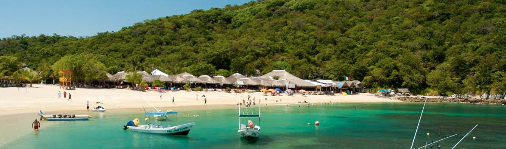
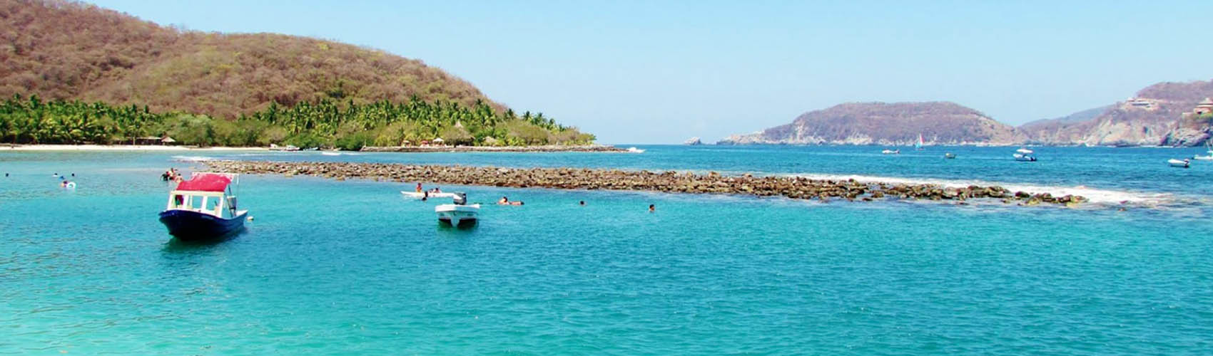
The three general types of shores found in the Gulf of California include rocky shore, sandy beach, and tidal flat. Some of the rich biodiversity and high endemism that characterize the Gulf of California and make it such a hotspot for fishing can be attributed to seemingly insignificant factors, such as the types of rocks that make up a shore. Beaches with softer, more porous rocks (such as Coquina limestone, rhyolites, granite, or diorite) generally have a higher species richness than those with harder, smoother rocks (such as basalt or diabase). Porous rocks will naturally have more cracks and crevices in them, making them ideal living spaces for many animals. The rocks themselves, however, generally need to be stable on the shore for a habitat to be stable. Additionally, the color of the rocks can affect the organisms living on a shore. For example, darker rocks will be significantly warmer than lighter ones, and can deter animals that do not have a high tolerance for heat.[2] The northern Gulf of California experiences tidal ranges of up to 5 m (16 ft). Mixed semidiurnal tides are the norm throughout most of the Gulf.
Estuaries;
In the Gulf of California, there are a number of negative estuaries, that is, ones in which the evaporation of seawater is relatively greater than that of the fresh water input. The salinities of these inlets are higher than that of the ocean. The temperatures, poikilothermal, of these negative estuaries also are higher than the general temperature of the Gulf.
It is possible that at one time these estuaries were positive, that is, ones in which the seawater component is diluted; therefore, the water is brackish, with salinity less than that of the ocean.
However, due to human modification of the land use around the Gulf of California and water diversion for municipal and agricultural use, there are no longer many rivers that freely empty into the Gulf of California. The upper Colorado River Delta is one example of a historically major estuary and wetlands ecosystem, that since the 20th century construction of upriver dams and diversion aqueducts on the Colorado River, is now a small ephemeral remnant estuary. The remaining Gulf inlets still are important to several species of fishes, crustaceans, and shellfish that are commercially harvested.